

 Collapsed terraced rice fields at Kumamoto earthquake
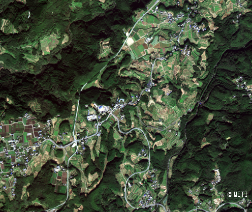
On April 14th night and 16th early morning 2016, the Kumamoto earthquake made the unbelievable disaster to the wide area of Mashiki town and Minamiaso village, so on.
Mifune town, Kumamoto, has the beautiful sloped rice field area, or the TANADA, one of the traditional Japanese country scenes.
The Kumamoto earthquake damaged the irrigation facilities and it made the many farmers who abandon the 2016 rice production.
Furthermore the heavy rain in June after the earthquake flow downed from high place to low place and it made too much water at the valley area.It caused the gully erosions and slope failures.
ASNARO-1 high resolution images make good understanding of such detail condition at the small TANADA which spread in wide damaged area.
(Note) The images in this article are based on the results of outsourcing projects of the Ministry of Economy, Trade and Industry.
ASNARO-1:http://www.jspacesystems.or.jp/en_project_asnaro/
Courtesy of METI : http://www.meti.go.jp/policy/mono_info_service/mono/space_industry/
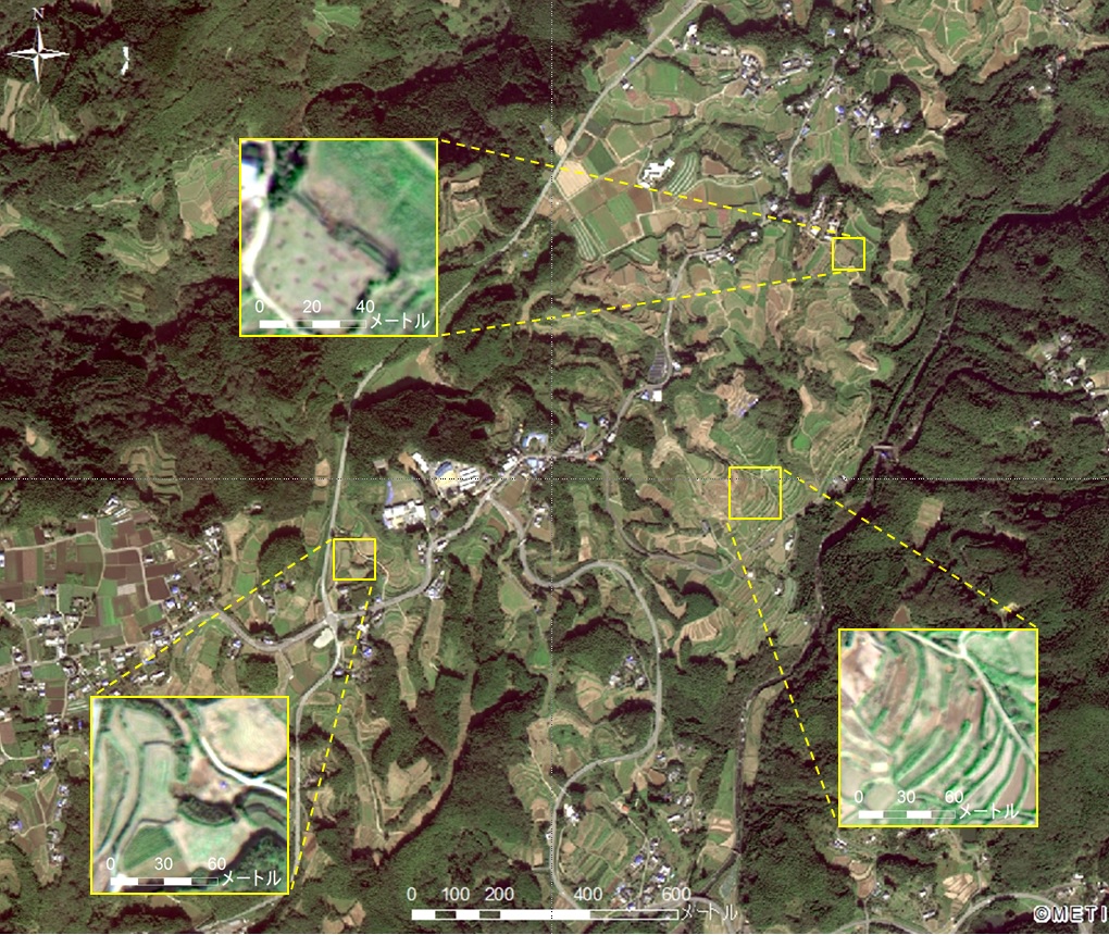