Guide
 2014/09/02 名古屋城
本日(2014/09/02)の画像から。
名古屋城ー尾張名古屋は城で持つ
Image produced and distributed by AIST, Source of Landsat 8 data: U.S. Geological Survey.
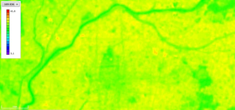
熱赤外画像(バンド10、100m分解能)を地表面温度換算したものです。
川や緑の多いところは比較的温度が低く、何ヶ所か温度が高くなっている場所も見受けられます。
Image produced and distributed by AIST, Source of Landsat 8 data: U.S. Geological Survey.
※本記事は、産業技術総合研究所様の許可の上、以下から転載しています。
ランドサットをたのしもう! 倶楽部


